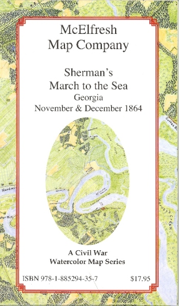
I have been looking over
this beautiful watercolor map by cartographer Earl McElfresh. One side shows a detailed look at the area surrounding the march, and the other side features reproductions of maps used by the Union, along with historical tidbits. It's a great reference to have while reading about the march, simply because it shows a lot of the towns and communities that no longer exist. It makes it much easier to put all these different places into perspective.
McElfresh also carries
other Civil War maps, including Gettysburg, Antietam, and Shiloh. Beyond the Civil War, they also have maps of Saragtoga, D-Day, and Little Big Horn. It's a great resource for any student of war topography.

No comments:
Post a Comment